

Quick answer
A stockholm archipelago tour map divides the region into inner, middle, and outer zones, each served by different ferry operators and marked by varying levels of development. Waxholmsbolaget publishes the most comprehensive public-transport route map, covering 30 year-round destinations and seasonal stops. Nautical charts from Sjöfartsverket detail depths, channels, and hazards for private boaters. Digital tools like Eniro and Google Maps render ferry schedules and walking paths on inhabited islands, but signal drops in the outer archipelago make offline maps essential for reliable navigation.
The Stockholm Archipelago spans roughly 60 kilometers from Fjäderholmarna—visible from the city quays—to Landsort lighthouse at the Baltic threshold. No paper chart fits the full range at a useful scale. Instead, the archipelago tour map ecosystem divides into three practical layers: transit maps for public ferries, nautical charts for private vessels, and island-specific walking maps. Waxholmsbolaget operates the backbone ferry network and publishes a schematic route map each season, color-coded by line and annotated with travel times. The map simplifies geography into nodes and connections rather than true-to-scale geography, much like a metro diagram. Cinderella Båtarna and Strömma Kanalbolaget overlay additional seasonal routes to popular day-trip islands like Fjäderholmarna, Grinda, and Sandhamn. These operator maps focus on schedules, not topography. For visitors planning multi-island itineraries, cross-referencing ferry timetables with a geographic overview—available as free PDFs from Visit Stockholm or printed at the Strömkajen terminal—clarifies transfer logistics and island proximity. Nautical charts issued by Sjöfartsverket serve private sailors and kayakers. These detailed bathymetric maps mark shipping lanes, rocks, buoys, and anchorage zones. They are overkill for ferry passengers but indispensable for anyone navigating by private craft. Digital versions integrate with marine GPS units and apps like Navionics. For hikers and cyclists, individual islands publish trailhead maps at ferry docks, showing marked paths, beaches, and heritage sites. Utö, Möja, and Finnhamn maintain the most detailed local cartography, often available as downloadable GPX files. Cell coverage fades beyond the middle archipelago. Offline-capable map apps—Eniro's mobile platform caches Swedish topographic data, and Google Maps allows regional downloads—prevent navigational dead ends when signal drops. Most visitors download the Stockholm County map boundary before departure. The archipelago remains a public commons with no admission gates, so route planning centers on ferry schedules and weather windows rather than ticketed access. Accurate maps turn the archipelago's vastness from obstacle into advantage.
“No paper chart fits the full 60-kilometer range at a useful scale—navigation here is a matter of layering transit schematics, nautical detail, and offline backups.”
Navigating With a Stockholm Archipelago Tour Map
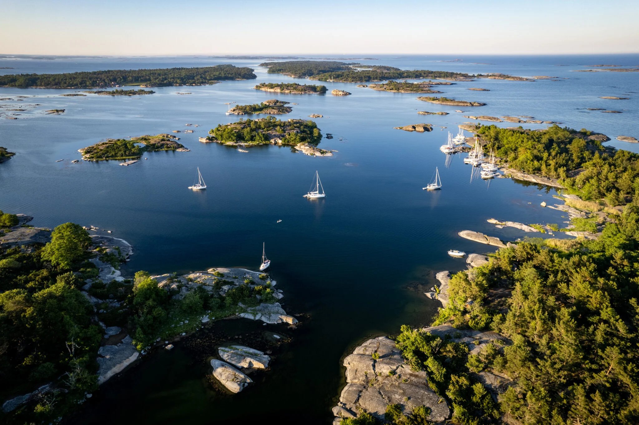
The Stockholm Archipelago consists of over 30,000 islands and skerries, accessible primarily via ferry services from central Stockholm. Using a tour map is essential for identifying island clusters and connecting ferry lines before departure.
Waxholmsbolaget ferry from Strömkajen to Vaxholm
Cinderella boats from Strandvägen to Sandhamn
Red line (Line 13) to Ropsten, then bus to ferry terminals
Recommended Routes for Your Stockholm Archipelago Tour Map
These routes suit different schedules, from a compact day trip to a multi-day exploration. All assume ferry departures from central Stockholm and adjust for seasonal daylight.
Ferry to Vaxholm
Board a Waxholmsbolaget ferry from Strömkajen; the crossing takes 60 minutes and offers views of scattered skerries.
Vaxholm Fortress
Explore the 16th-century fortress on its own islet; allow 90 minutes for the museum and ramparts, then lunch in Vaxholm town.
Return or Continue to Grinda
Day-trippers can catch the 15:00 return ferry; those with more time take the onward connection to Grinda, a 45-minute sail.
Grinda Nature Trails
Walk the marked coastal loops through pine forest and granite outcrops; trails range from 2 to 5 kilometers and take 1–2 hours.
Overnight on Sandhamn
Multi-day visitors continue east to Sandhamn, arriving by early evening; the village offers guesthouses and a sheltered harbor used by sailors since the 1600s.
Sandhamn to Fjäderholmarna
Return west via a different route, stopping at Fjäderholmarna—Stockholm's closest archipelago island, reachable in 25 minutes—for craft workshops and a final waterfront walk before heading back to the city.
Seasonal and Daily Timing for Stockholm Archipelago Tour Map Users
The best arrival window for archipelago exploration is 09:00–11:00, which avoids mid-day ferry crowds and maximizes daylight hours. This timing allows for efficient navigation of your tour map across the varying seasonal schedules.
May to August
High ferry frequency; popular with localsMild to warm, 15°C to 22°C
Long daylight hours provide extended time for island hopping. Ferries run frequently to accommodate increased visitor numbers.
September to October
Moderate crowds; quieter atmosphereCooler, 8°C to 15°C
Ferry schedules decrease as autumn progresses. This period offers stable, crisp weather for outdoor activities.
November to April
Very low, mostly local commutersCold, 0°C to 5°C
Limited ferry routes require careful planning. Many islands experience restricted services during these months.
Weekday Mornings
Minimal; avoids weekend peak—
Arriving between 09:00 and 11:00 ensures a quieter start. This window provides the best conditions for using your tour map without congestion.
Verdict: The best time to visit is during the shoulder months of May or September, arriving between 09:00 and 11:00 on a weekday.
Understanding Costs Related to Your Stockholm Archipelago Tour Map
The Stockholm Archipelago is public land, meaning there is no admission fee to enter the area. Costs for visitors are associated with transit and ferry services rather than entry tickets.
A typical adult pays 0 SEK for entry, with total costs depending solely on the specific ferry routes or transit zones selected.
Stockholm Archipelago Tour Map Accessibility and Opening Hours
The Stockholm Archipelago is a public area accessible at all times throughout the week. While the islands themselves are open, individual visitor centers, museums, and transport services operate on their own specific schedules.
| Monday | 00:00–23:59 | Accessible 24 hours |
|---|---|---|
| Tuesday | 00:00–23:59 | Accessible 24 hours |
| Wednesday | 00:00–23:59 | Accessible 24 hours |
| Thursday | 00:00–23:59 | Accessible 24 hours |
| Friday | 00:00–23:59 | Accessible 24 hours |
| Saturday | 00:00–23:59 | Accessible 24 hours |
| Sunday | 00:00–23:59 | Accessible 24 hours |
Stockholm Archipelago Tour Map Preparation Checklist
Prepare these essentials before your archipelago exploration to ensure smooth island-hopping and avoid connectivity issues on remote shores.
-
Download offline navigation maps — Cell coverage weakens significantly beyond the inner islands.
-
Check ferry schedules and save screenshots — Wärtsilä and Cinderella timetables change seasonally and require advance planning.
-
Pack refillable water and snacks — Many smaller islands lack shops or facilities entirely.
-
Charge power banks and devices fully — Limited charging options exist on most archipelago routes.
-
Verify weather forecast for three days — Sudden storms can cancel ferry departures and strand visitors.
-
Wear layered clothing and sturdy footwear — Island trails are uneven and temperatures drop near open water.
Check availability
Common Questions About the Stockholm Archipelago Tour Map
Everything you need to know about stockholm archipelago tour map